4,100 Hectares LiDAR Mapping – Urban Planning
Focus: DSM, DTM, contours, planning-grade datasets
This project involved survey-grade LiDAR and RGB data capture over a vast urban planning area. AAG generated classified point clouds, DSMs, DTMs, contour maps, and planning-grade datasets to support land-use design, infrastructure layout, and regulatory review.
Cowrie Creek LiDAR Survey
Focus: Terrain modeling, flood and coastal intelligence
AAG conducted detailed LiDAR mapping and spatial analysis of the Cowrie Creek corridor. Deliverables included elevation models, orthophotos, and terrain intelligence supporting coastal assessment, flood modeling, and high-value waterfront development planning.
Abule-Ado Explosion: Rapid Damage Intelligence
Sector: Emergency Response & Insurance
Capability: Damage Assessment, GIS Analysis
Metric: NGN 6.7bn estimated property loss assessed
Focus: Rapid damage intelligence, GIS analysis, emergency response
Following the 2020 gas explosion in Lagos, AAG deployed aerial data capture and GIS intelligence to assess structural damage. Our team classified impact levels, produced high-resolution maps and reports, and supported accurate loss estimation valued at NGN 6.7 billion. The outcome accelerated response coordination and insurance processing.
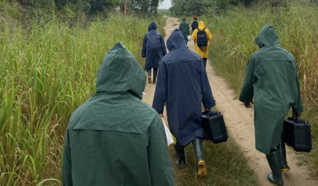
Community Resettlement Mapping, Badagry
Sector: Urban Planning & Infrastructure
Capability: Survey-Grade Mapping, Enumeration
AAG mapped 19 communities covering over 1,119 hectares, deploying precisely spaced ground control points to achieve sub-centimeter accuracy. The data enabled informed resettlement planning, infrastructure alignment, and reduced future land disputes.
Large-Scale Agricultural Intelligence, Ekiti
Sector: Agriculture & Rural Development
Capability: Mapping, Development Planning
Metric: 6,000 hectares mapped and planned
Focus: Farm development layouts, community enumeration
We delivered a phased mapping program across 6,000 hectares, supporting farm development layouts and community enumeration. The project provided a scalable blueprint for long-term agricultural investment.
Kwara Cassava Farm Operations
Metric: 2,000 hectares supported through aerial intelligence
Focus: Crop spraying, NDVI plant health assessment
We supported large-scale cassava production through drone-enabled spraying and NDVI-based plant health analysis. The operation improved efficiency, reduced costs, and enabled early detection of crop stress and yield risks.